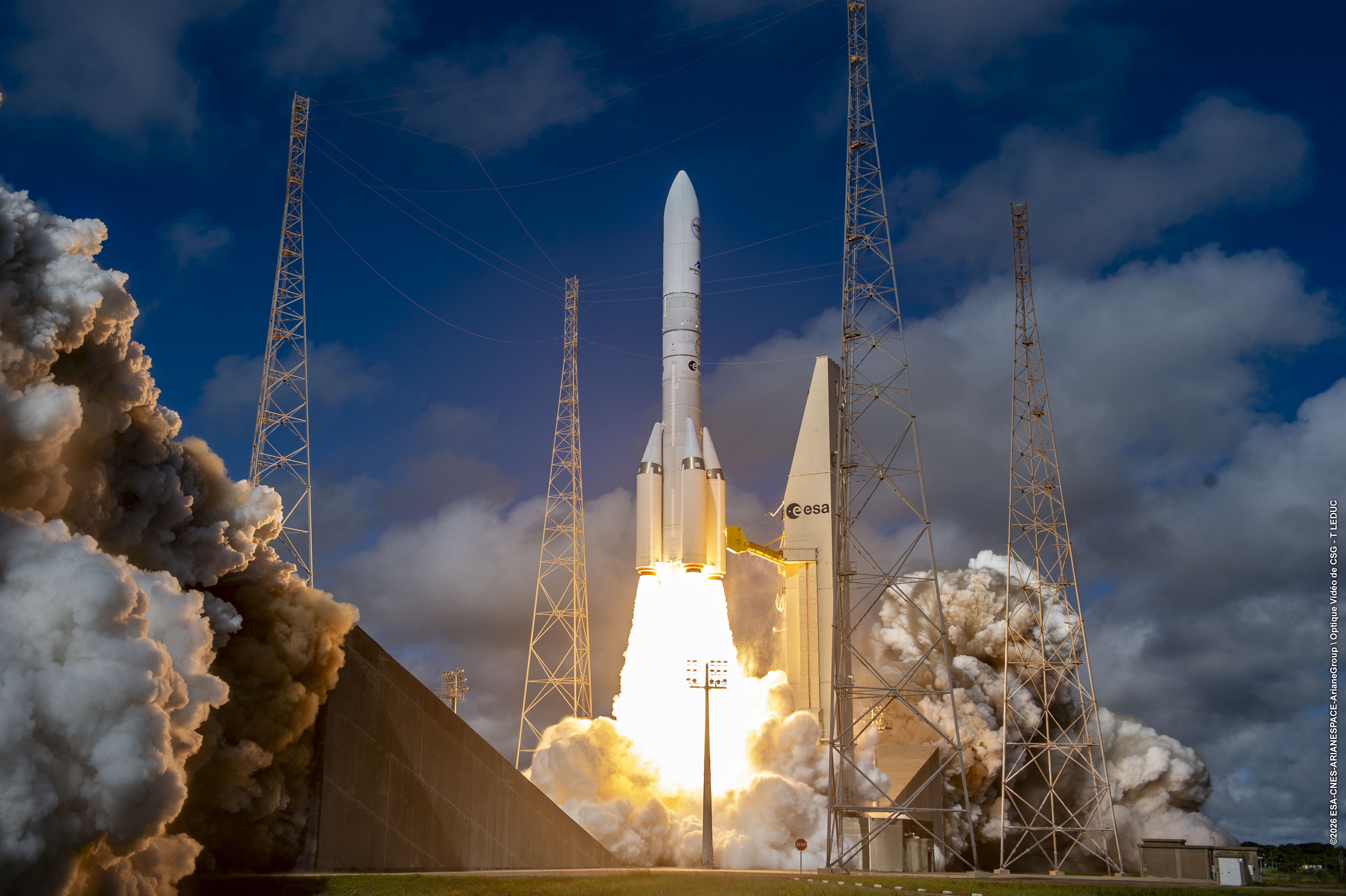
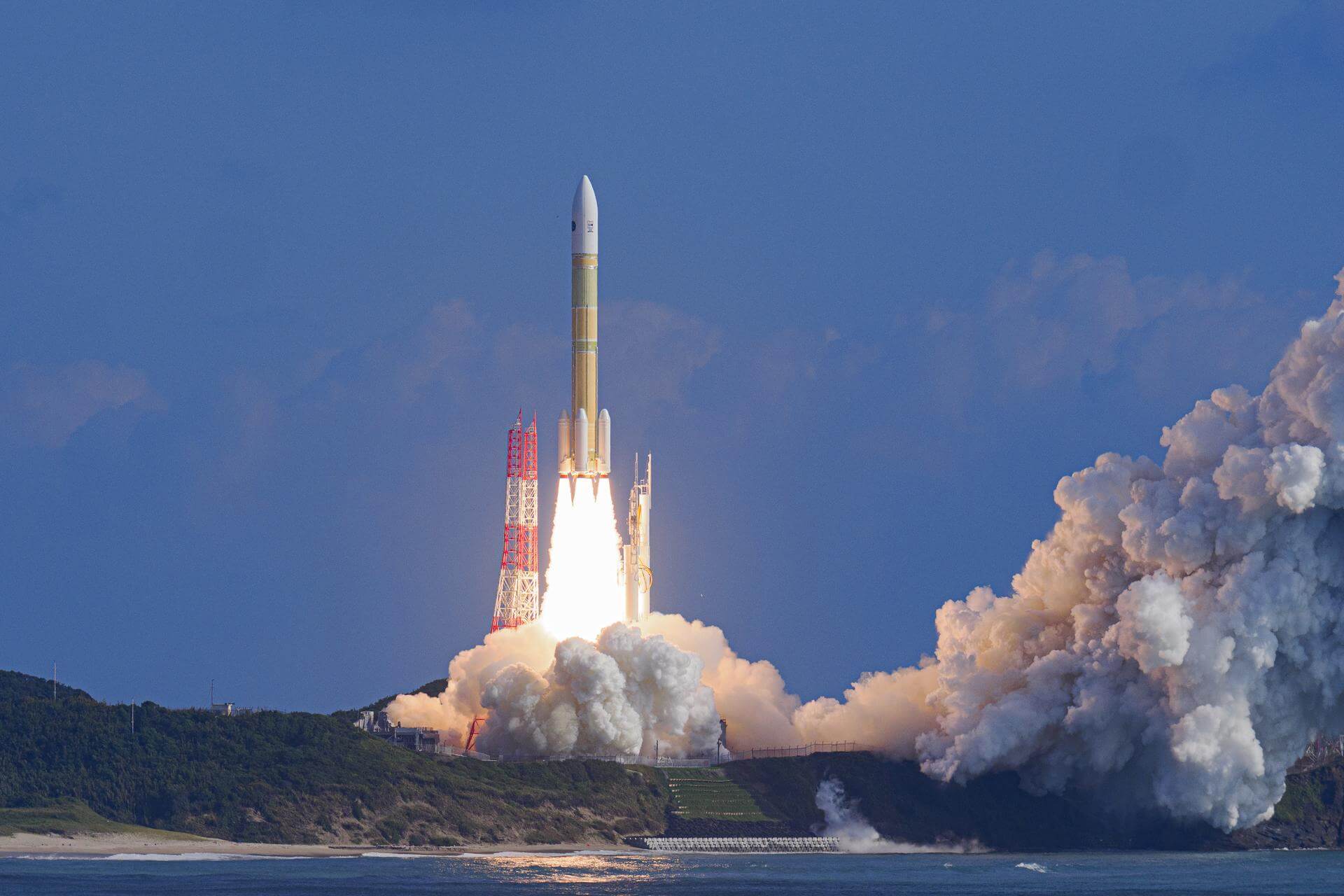
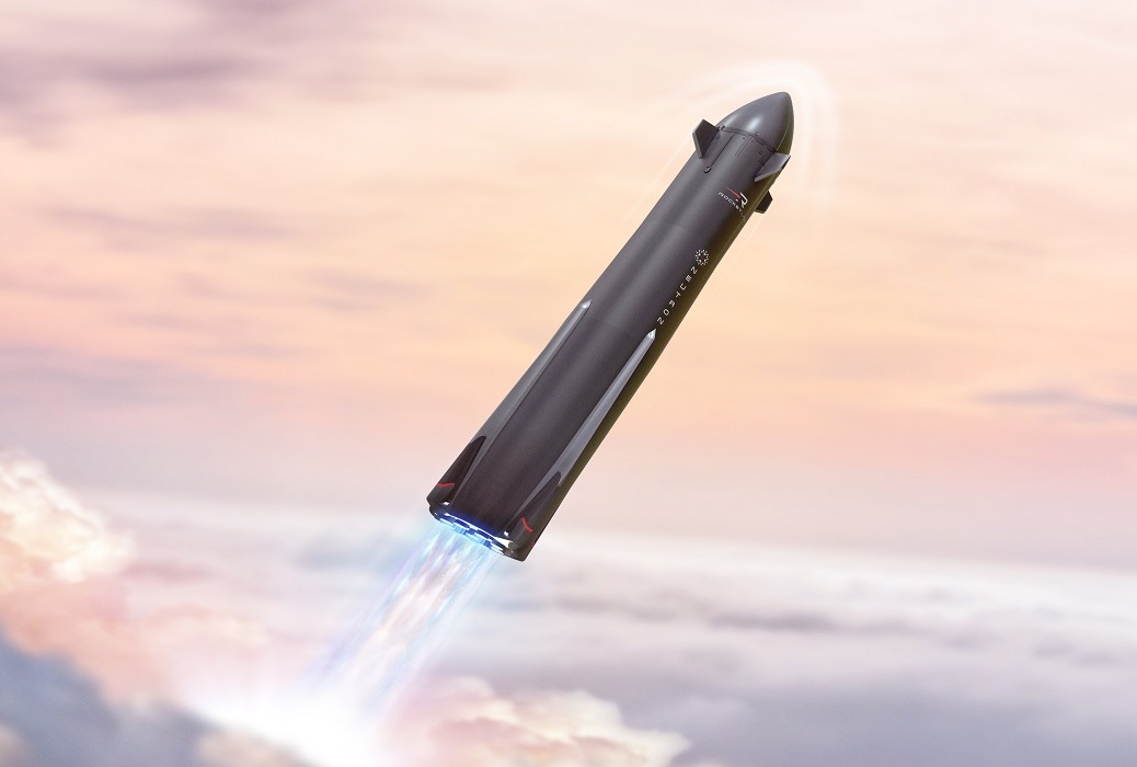
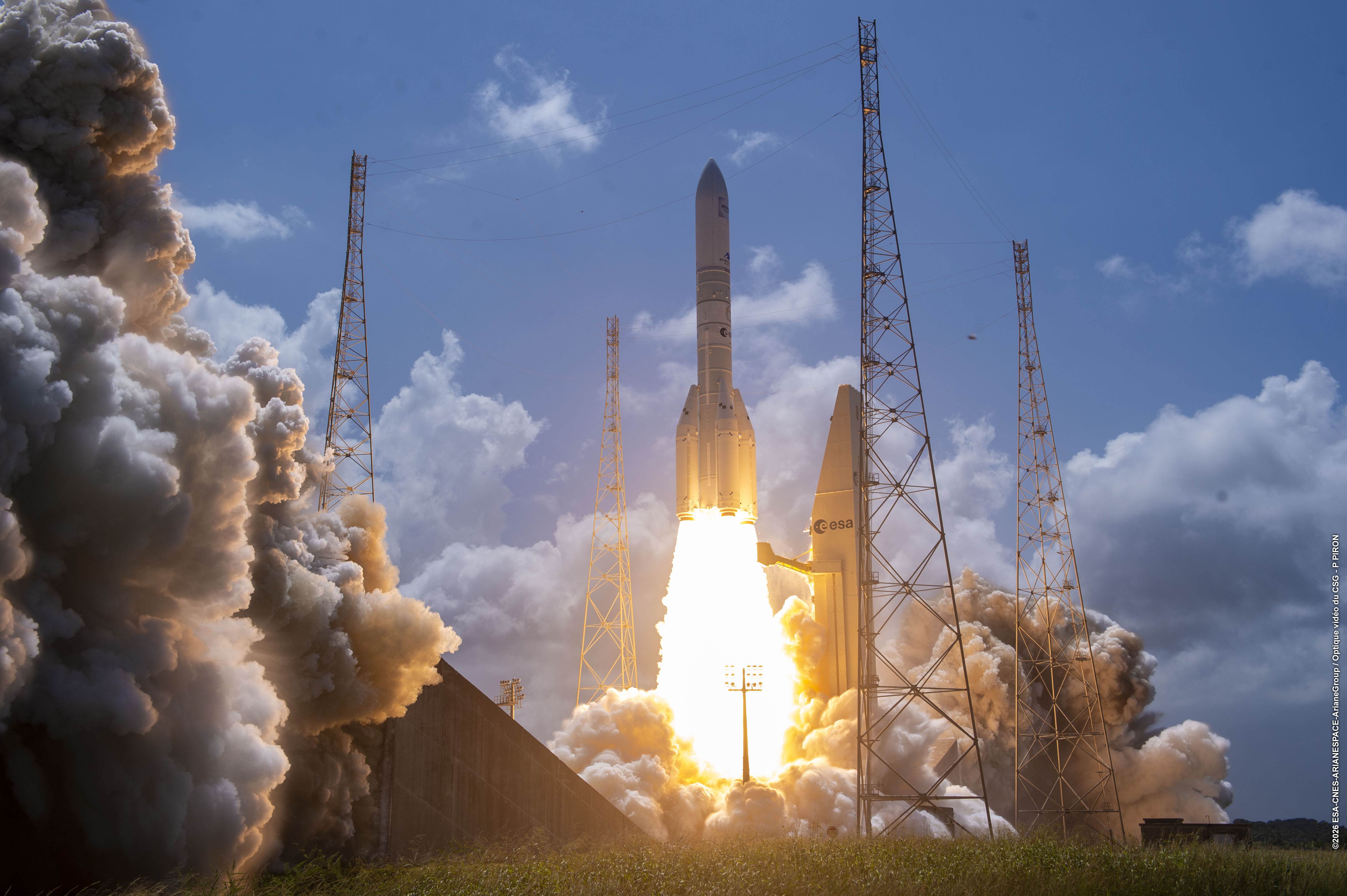
Space launches
Filters
Mission type: Astrophysics | Communications | Dedicated Rideshare | Earth Science | Government/Top Secret | Human Exploration | Lunar Exploration | Mission Extension | Navigation | Planetary Science | Resupply | Technology | Test Flight | Unknown
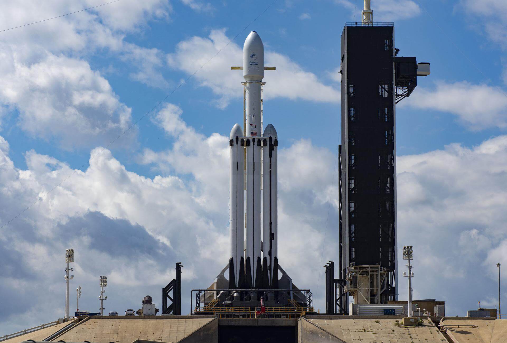
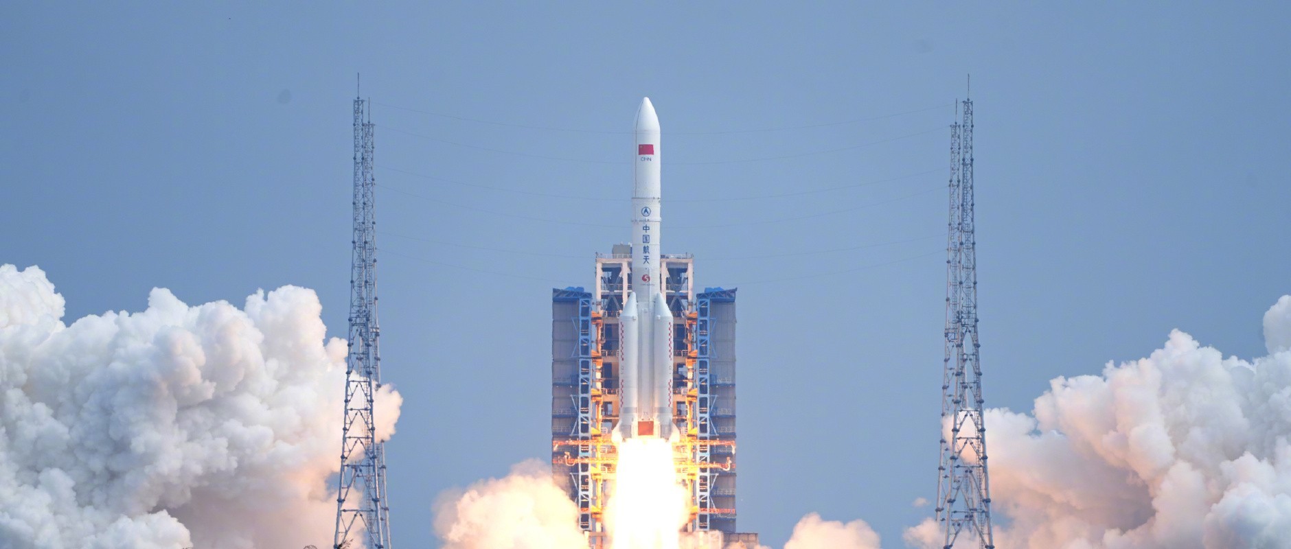
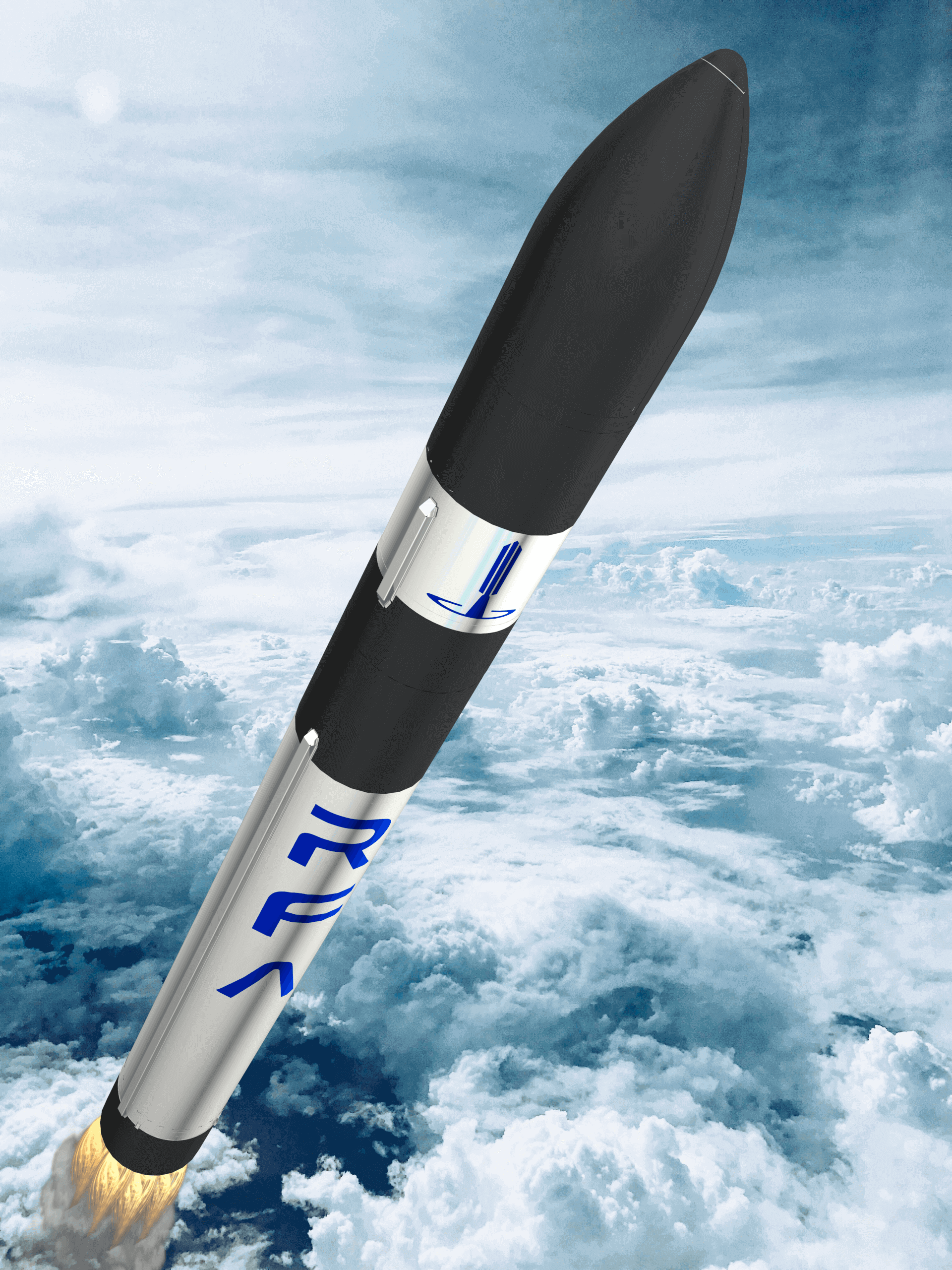
Vehicle: Ariane 62 | Ariane 64 | Ariane 64 Block 2 | Astra Rocket 4 | Atlas V N22 | Electron | Epsilon S | Falcon 9 Block 5 | Falcon Heavy | Firefly Alpha Block 2 | Gravity-1 | GSLV Mk. II | H3-22 | H3-24 | HANBIT-Nano | KSLV-2 Nuri | Launch Vehicle Mark-3 (GSLV Mk III) | Long March 2F/G | Long March 3B/E | Long March 5 | Long March 7A | Mir | Neutron | RFA One | Soyuz 2.1a | Soyuz 2.1b | Spectrum | Starship V3 | Themis Demonstrator | Vega-C | Vikram-I | Vulcan VC4L | Vulcan VC6L | Zhuque-3
Orbit: Geostationary Transfer Orbit | Low Earth Orbit | Lunar Orbit | Mars Orbit | Medium Earth Orbit | Polar Orbit | Suborbital | Sun-Earth L2 | Sun-Synchronous Orbit | Unknown
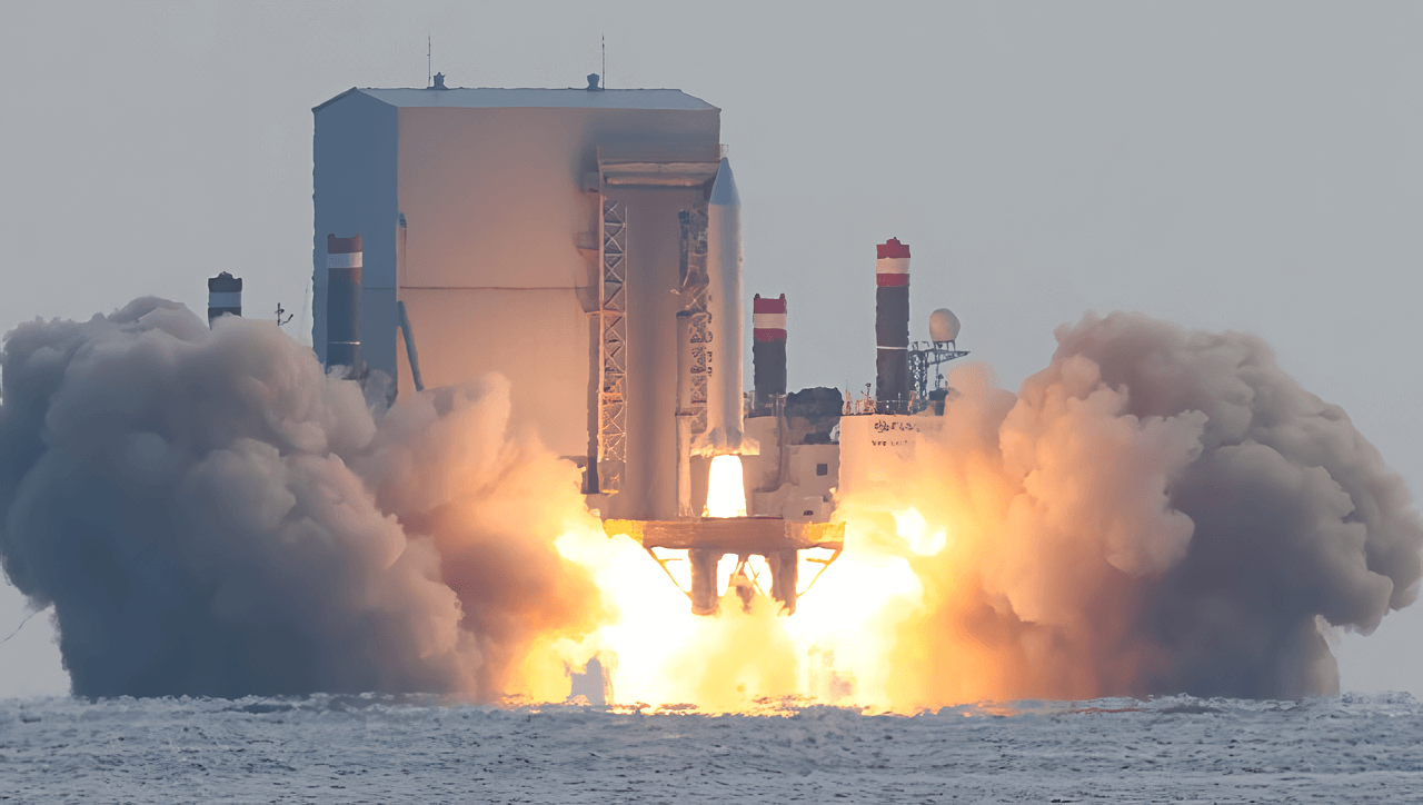
09:27 Second
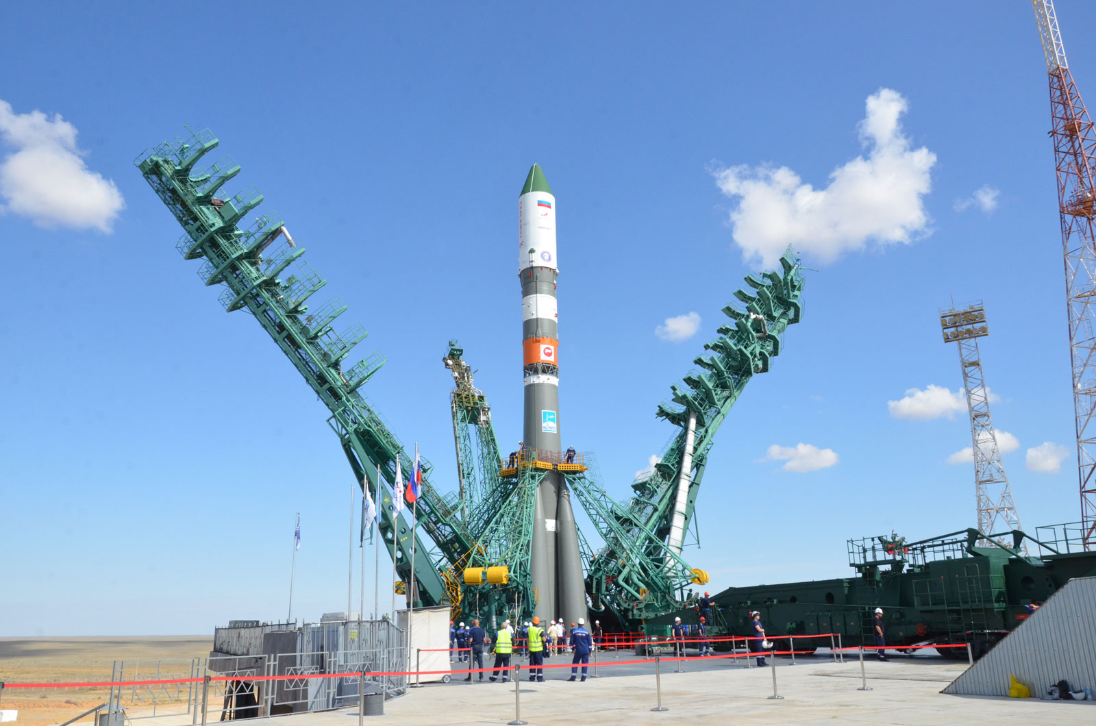
Soyuz MS-28 will carry three cosmonauts and one astronaut to the International Space Station aboard the Soyuz spacecraft from the Baikonur Cosmodrome in Kazakhstan. The crew consists of Roscosmos cosmonauts Sergei Kud-Sverchkov, Sergei Mikayev and Oleg Platonov.
10:15 Second
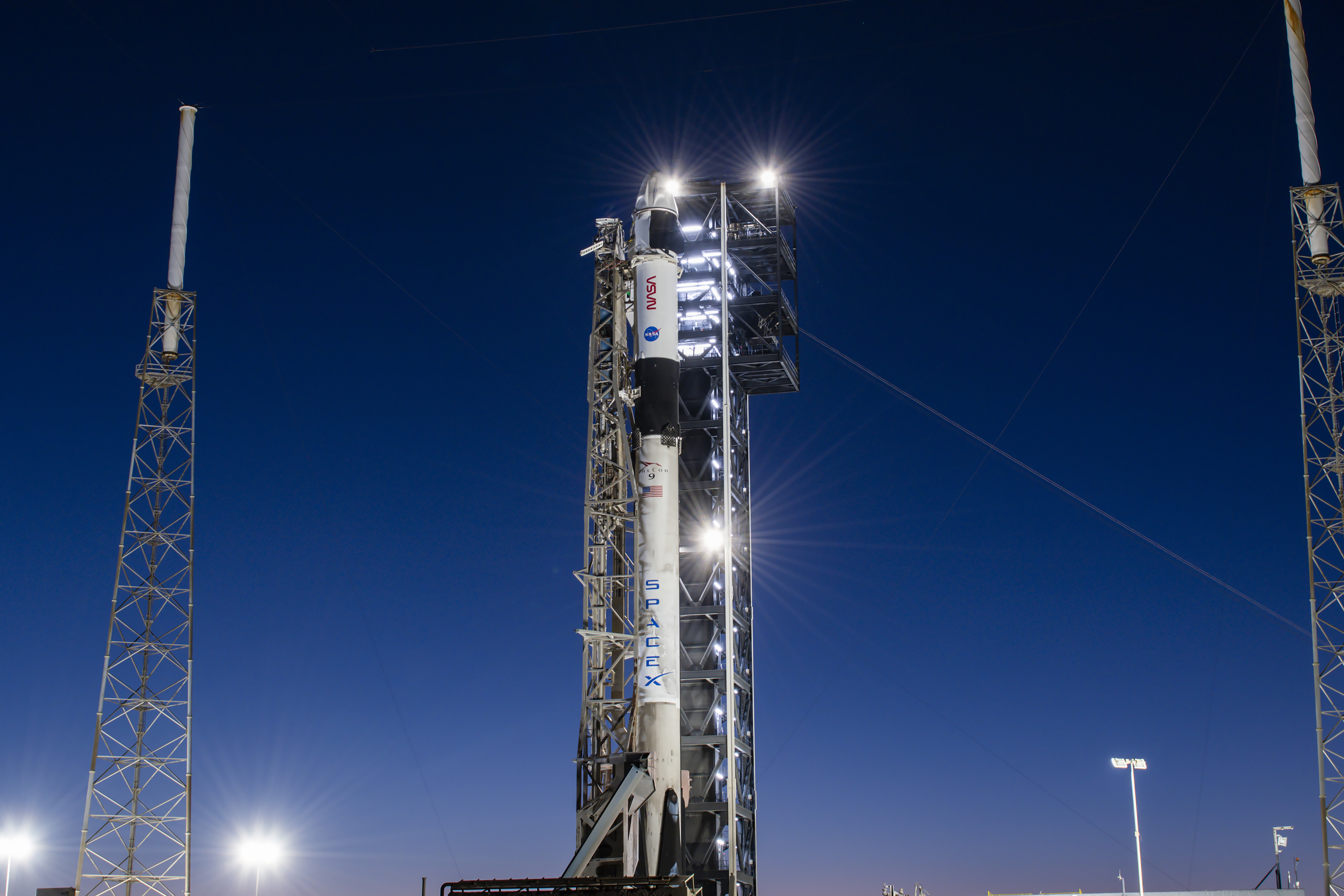
SpaceX Crew-12 is the twelfth crewed operational flight of a Crew Dragon spacecraft to the International Space Station as part of NASA's Commercial Crew Program.
15:08 Second
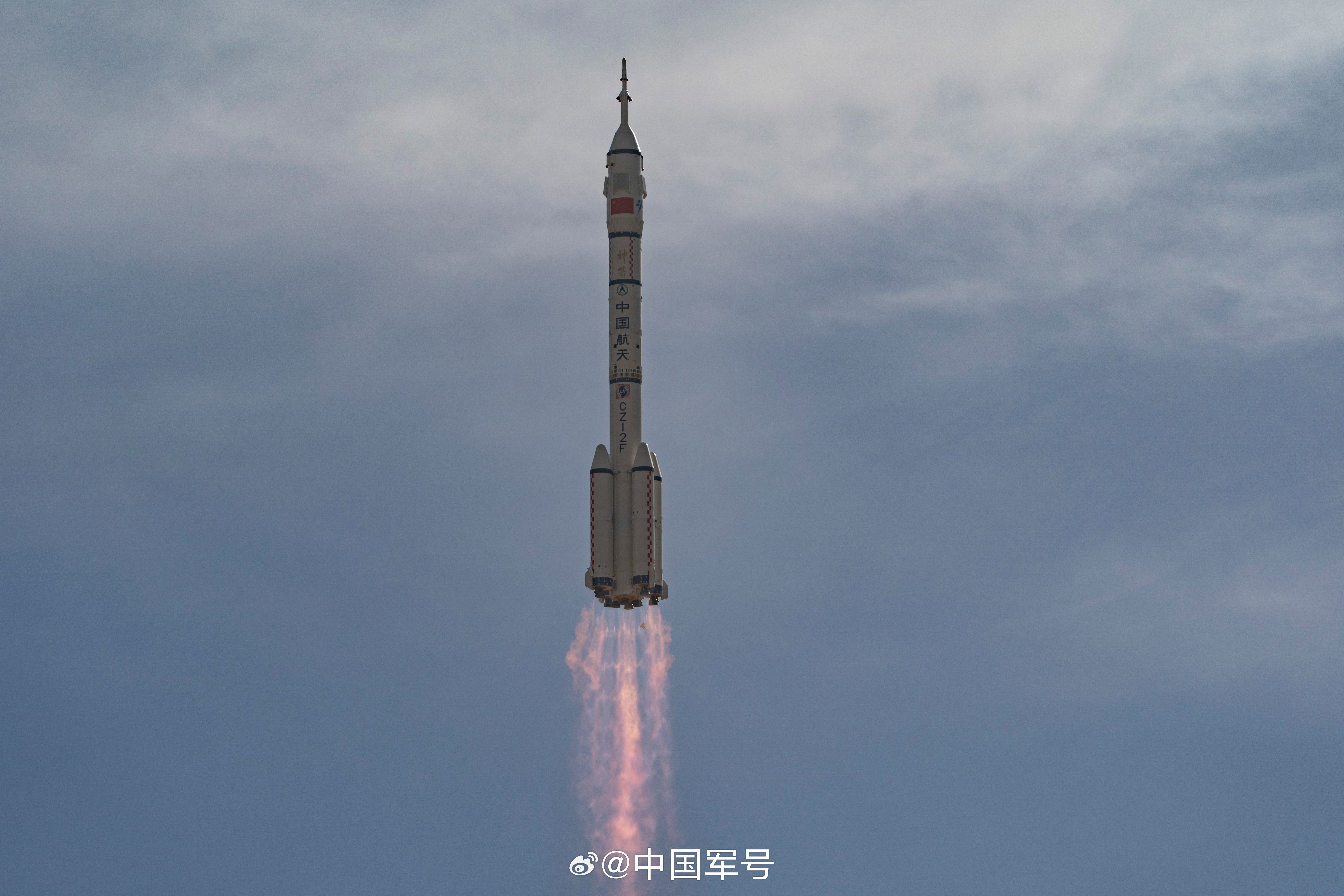
Shenzhou 23 will be the 23rd flight of the Shenzhou program.
03:01 Second

A batch of 24 satellites for the Starlink mega-constellation - SpaceX's project for space-based Internet communication system.
01:16 Minute
A batch of 24 satellites for the Starlink mega-constellation - SpaceX's project for space-based Internet communication system.
07:15 Minute
A batch of 29 satellites for the Starlink mega-constellation - SpaceX's project for space-based Internet communication system.
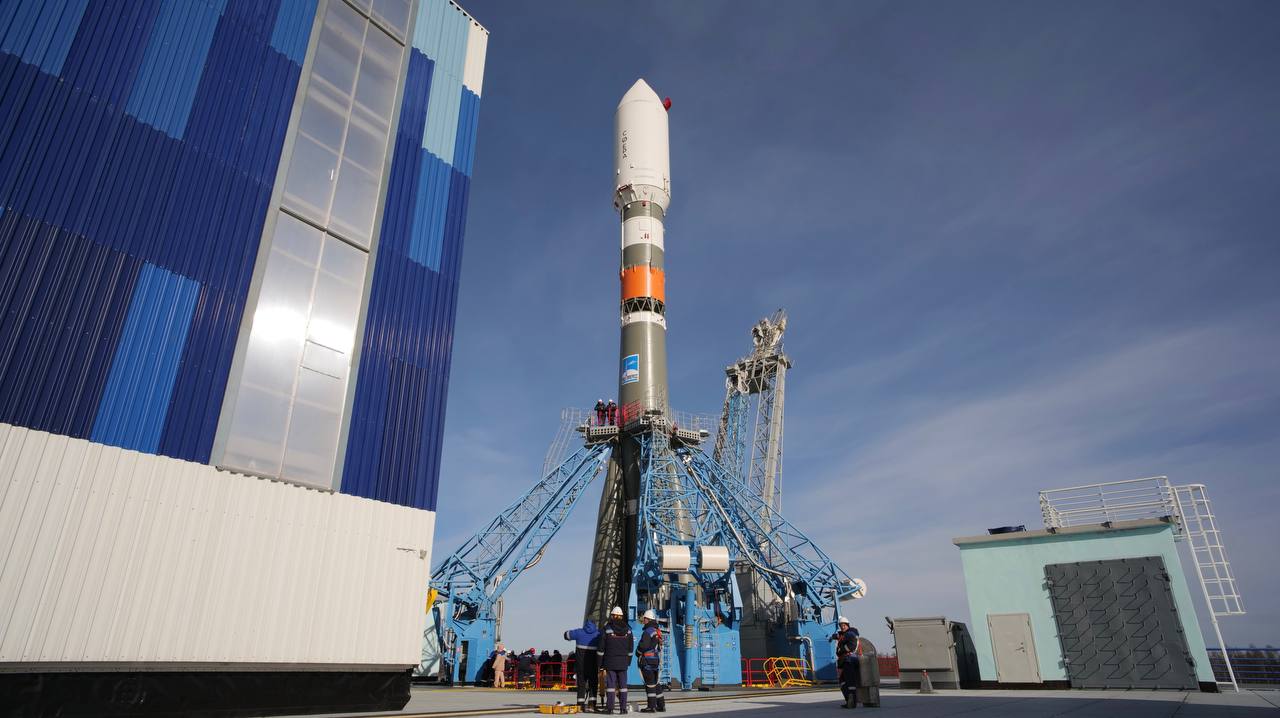
14:47 Second
Soyuz MS-29 will carry three cosmonauts and one astronaut to the International Space Station aboard the Soyuz spacecraft from the Baikonur Cosmodrome in Kazakhstan. The crew consists of Roscosmos cosmonauts Pyotr Dubrov and Anna Kikina, as well as NASA astronaut Anil Menon.
22:45 Minute

13th test flight of the two-stage Starship launch vehicle. Second flight of Starship V3
20:22 Minute

Tranche 1 Transport Layer E is one of six missions by the United States Space Force Space Development Agency (SDA) for the Proliferated Warfighter Space Architecture (PWSA) Tranche 1 Transport Layer constellation, which will provide assured, resilient, low-latency military data and connectivity worldwide to the full range of warfighter platforms from Low Earth Orbit satellites.
The constellation will be interconnected with Optical Inter-Satellite Links (OISLs) which have significantly increased performance over existing radio frequency crosslinks. It is expected to operate over Ka band, have stereo coverage and be dynamically networked for simpler hand-offs, greater bandwidth and fault tolerance.
Day

LOXSAT 1 is a demonstration satellite of a complete cryogenic oxygen fluid management system in orbit, developed by Eta Space and sponsored by NASA's Tipping Point program.
The system will be integrated on a Rocket Lab Photon-LEO satellite bus and collect critical cryogenic fluid management data in orbit for 9 months, demonstrating capabilities of in-space cryogenic storage and transferal. Eta Space plans to use technology developed for this mission to develop a truly commercial depot intended to serve multiple customers in the future.
11:00 Hour
Details TBD.
05:00 Hour
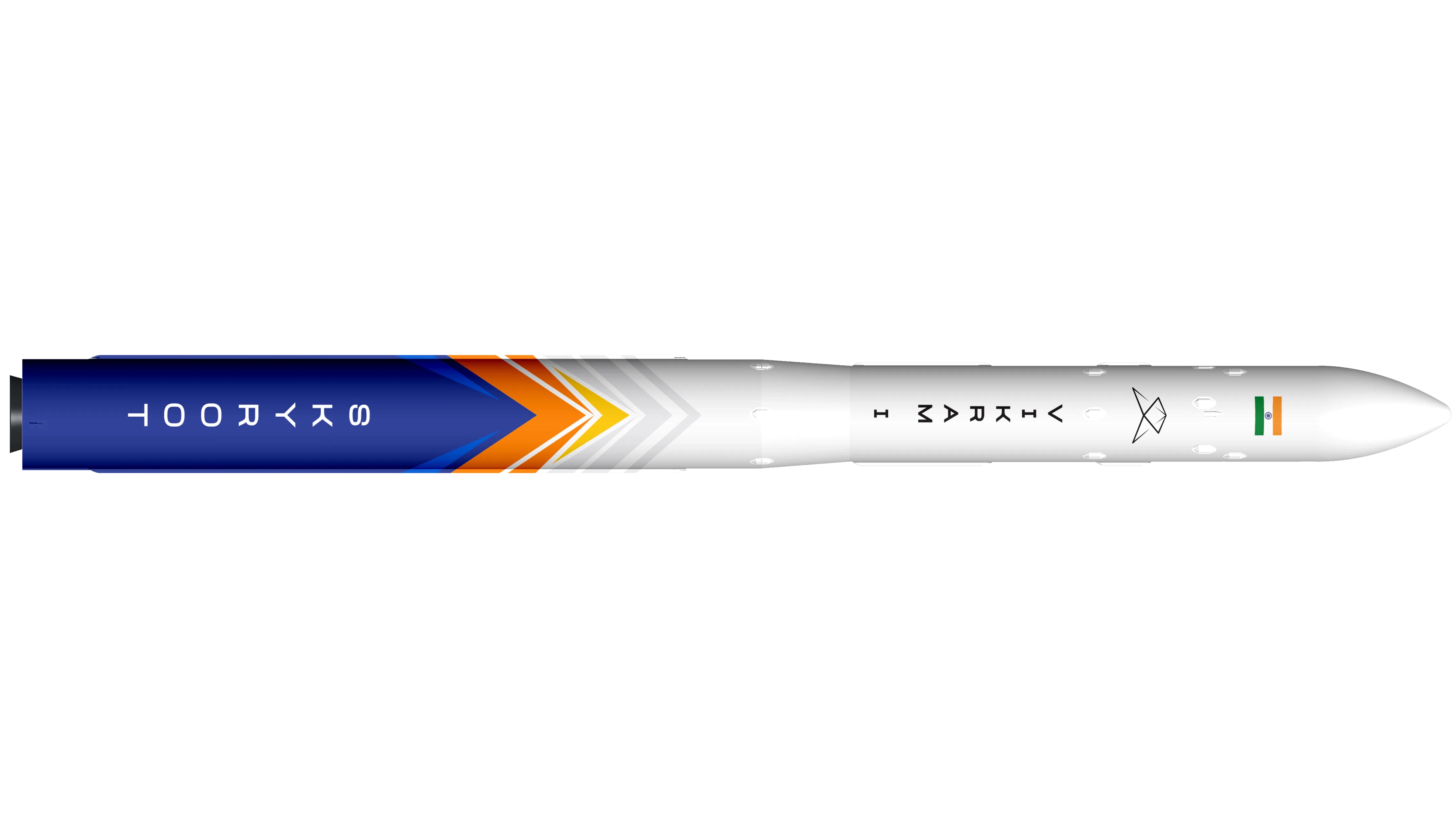
First launch of Skyroot Aerospace's Vikram-I launch vehicle, with several cubesats on board. Payload identities TBD.
14:00 Minute
A batch of 24 satellites for the Starlink mega-constellation - SpaceX's project for space-based Internet communication system.
11:00 Hour
Details TBD.
14:00 Minute
A batch of 24 satellites for the Starlink mega-constellation - SpaceX's project for space-based Internet communication system.
Month
Synthetic aperture radar satellite for Japanese Earth imaging company Synspective.
Month
Synthetic aperture radar Earth observation satellite for Japanese Earth imaging company iQPS.
Month
The Globalstar global mobile communications network offers global, digital real time voice, data and fax services via its Low Earth Orbit satellite constellation. The constellation operates in a 1410 km orbit inclined at 52 degrees.
In early 2022, Globalstar contracted with MDA for the construction of 17 new 2nd generation refresh satellites to replenish the existing constellation. Rocket Lab is sub-contracted to build the satellites' buses and the launch dispensers.
Month
The SpaceLogistics MRV-1 is a mission extension payload including a mission robotic vehicle (MRV) and multiple mission extension pods (MEPs).
Month
Details TBD.
Month
GISAT-1A (GEO Imaging Satellite) is an Indian earth observing satellite operating from geostationary orbit to facilitate continuous observation of Indian sub-continent, quick monitoring of natural hazards and disaster.
Month
Note: Launch vehicle name is provisional.
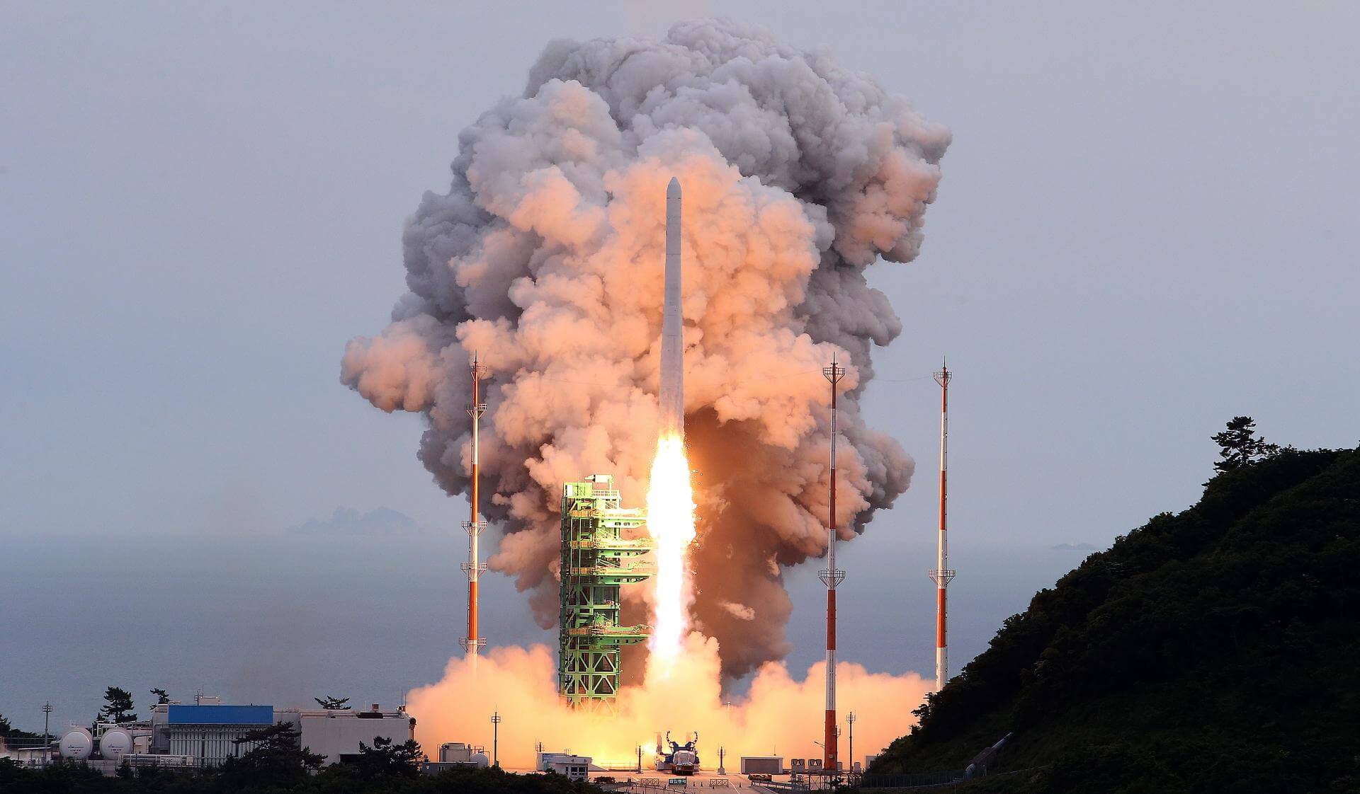
First orbital full version launch of the South Korean military small satellite launch vehicle, after 2 sub-orbital tests of individual stages on 30 March and 30 December 2022, and 1 orbital test flight without the 2nd stage on 4 December 2023. Details TBD.
Month
Note: Payload identities uncertain.
Batch of 16 Rassvet-3 Low Earth Orbit communication satellites for the Russian Byuro-1440 (Bureau 1440) constellation for broadband high-speed internet access in Russia.
Day

Second test flight of the Isar Spectrum launch vehicle. This launch will carry 5 cubesats and 1 non-separable experiment as part of European Space Agency (ESA)'s “Boost!” program:
* CyBEEsat (TU Berlin)
* TriSat-S (University of Maribor)
* Platform 6 (EnduroSat)
* FramSat-1 (NTNU)
* SpaceTeamSat1 (TU Wien Space Team)
* Let It Go (Dcubed, non-separable experiment)
19:30 Minute
QZSS (Quasi Zenith Satellite System) is a Japanese satellite navigation system operating from inclined, elliptical geosynchronous orbits to achieve optimal high-elevation visibility in urban canyons and mountainous areas. The navigation system objective is to broadcast GPS-interoperable and augmentation signals as well as original Japanese (QZSS) signals from a three-spacecraft constellation.
The navigation system objective is to broadcast GPS-interoperable and augmentation signals as well as original Japanese (QZSS) signals from a three-spacecraft constellation in inclined, elliptical geosynchronous orbits.
Day
Third of EUMETSAT's third generation of weather satellite.
Day
The Nancy Grace Roman Space Telescope is a NASA infrared space telescope with a 2.4 m (7.9 ft) wide field of view primary mirror and two scientific instruments. The Wide-Field Instrument (WFI) is a 300.8-megapixel multi-band visible and near-infrared camera, providing a sharpness of images comparable to that achieved by the Hubble Space Telescope over a 0.28 square degree field of view, 100 times larger than imaging cameras on the Hubble. The Coronagraphic Instrument (CGI) is a high-contrast, small field of view camera and spectrometer covering visible and near-infrared wavelengths using novel starlight-suppression technology. Roman objectives include a search for extra-solar planets using gravitational microlensing, and probing the expansion history of the Universe and the growth of cosmic structure, with the goal of measuring the effects of dark energy, the consistency of general relativity, and the curvature of spacetime.
Month
AST SpaceMobile’s Block 2 BlueBird satellites are designed to deliver up to 10 times the bandwidth capacity of the BlueBird Block 1 satellites, required to achieve 24/7 continuous cellular broadband service coverage in the United States, with beams designed to support a capacity of up to 40 MHz, enabling peak data transmission speeds up to 120 Mbps, supporting voice, full data and video applications. The Block 2 BlueBirds, featuring as large as 2400 square foot communications arrays, will be the largest satellites ever commercially deployed in Low Earth orbit once launched.
This launch will feature 3 satellites.
Month

35th commercial resupply services mission to the International Space Station operated by SpaceX. The flight will be conducted under the second Commercial Resupply Services contract with NASA.
Cargo Dragon 2 brings supplies and payloads, including critical materials to directly support science and research investigations that occur onboard the orbiting laboratory.
Month
Classified mission launched by the Space Development Agency (SDA) for Tranche 2 Transport Layer.
Month
Chang'e 7/CE-7 is scheduled to launch in 2026, including an orbiter, a lander, a mini-hopping probe, and a rover. The mission will land in the South Pole regions of the Moon to study lunar surface environment around the South Pole, especially in looking for water ice in lunar soil.
Month
First flight of the RFA One launch vehicle. Will carry 7 satellites for various companies and organizations coordinated by the German Aerospace Center (DLR).
* AllBertEinStein
* ARTICA
* Curium Two
* ERMINAZ
* PCIOD
* Separation Ring Mission
* SpaceDREAM
Month
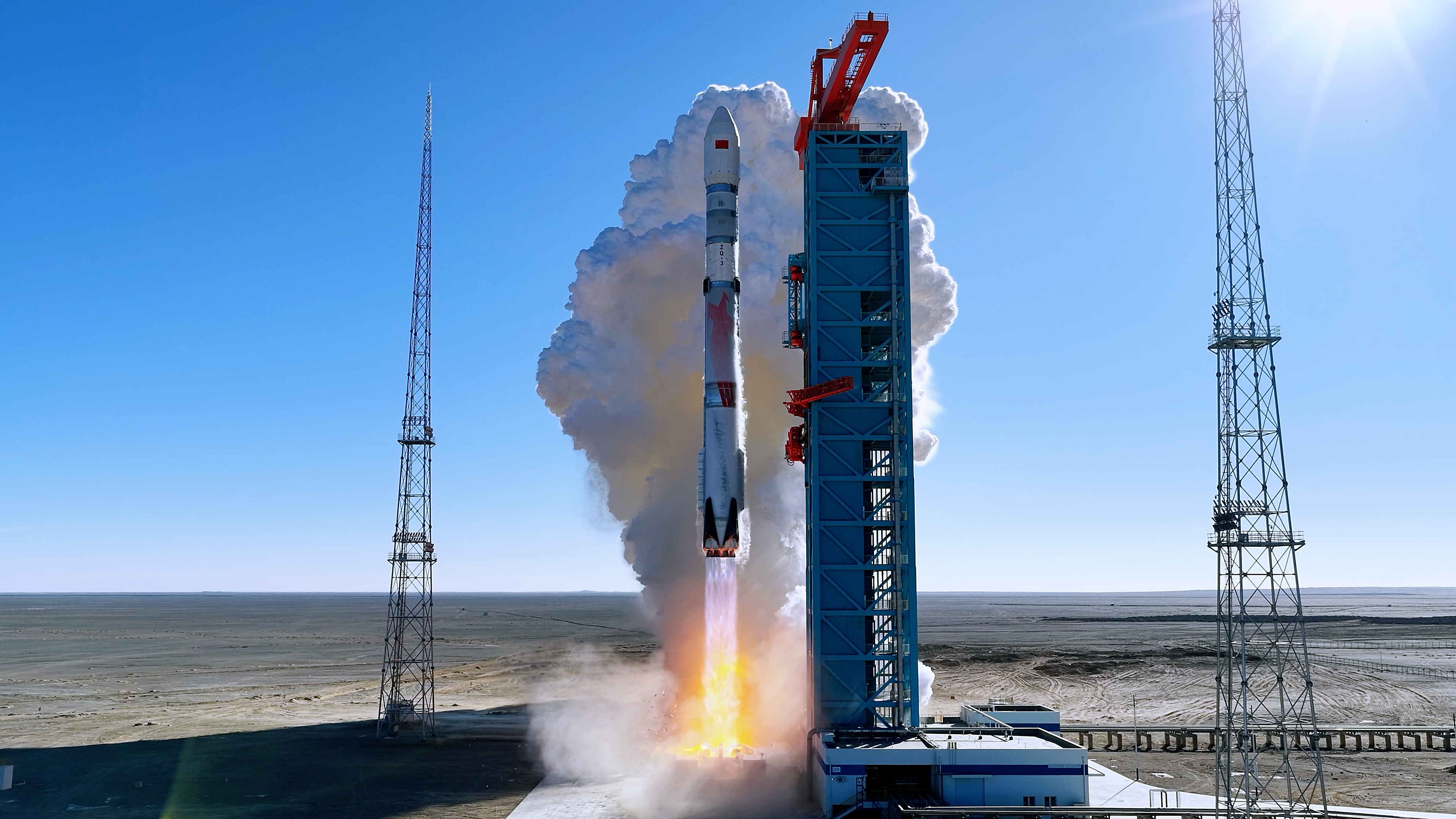
Second test launch of LandSpace’s ZQ-3 rocket. Payload identities are TBD.
16:10 Minute
Progress resupply mission to the International Space Station.
Day

Sentinel-3C is the third satellite in the Sentinel-3 constellation, which provides high-accuracy optical, radar and altimetry data for marine and land services.
The Fluorescence Explorer (FLEX) satellite is a part of ESA's Earth Explorer program. The satellite will map vegetation fluorescence to quantify photosynthetic activity.
Month
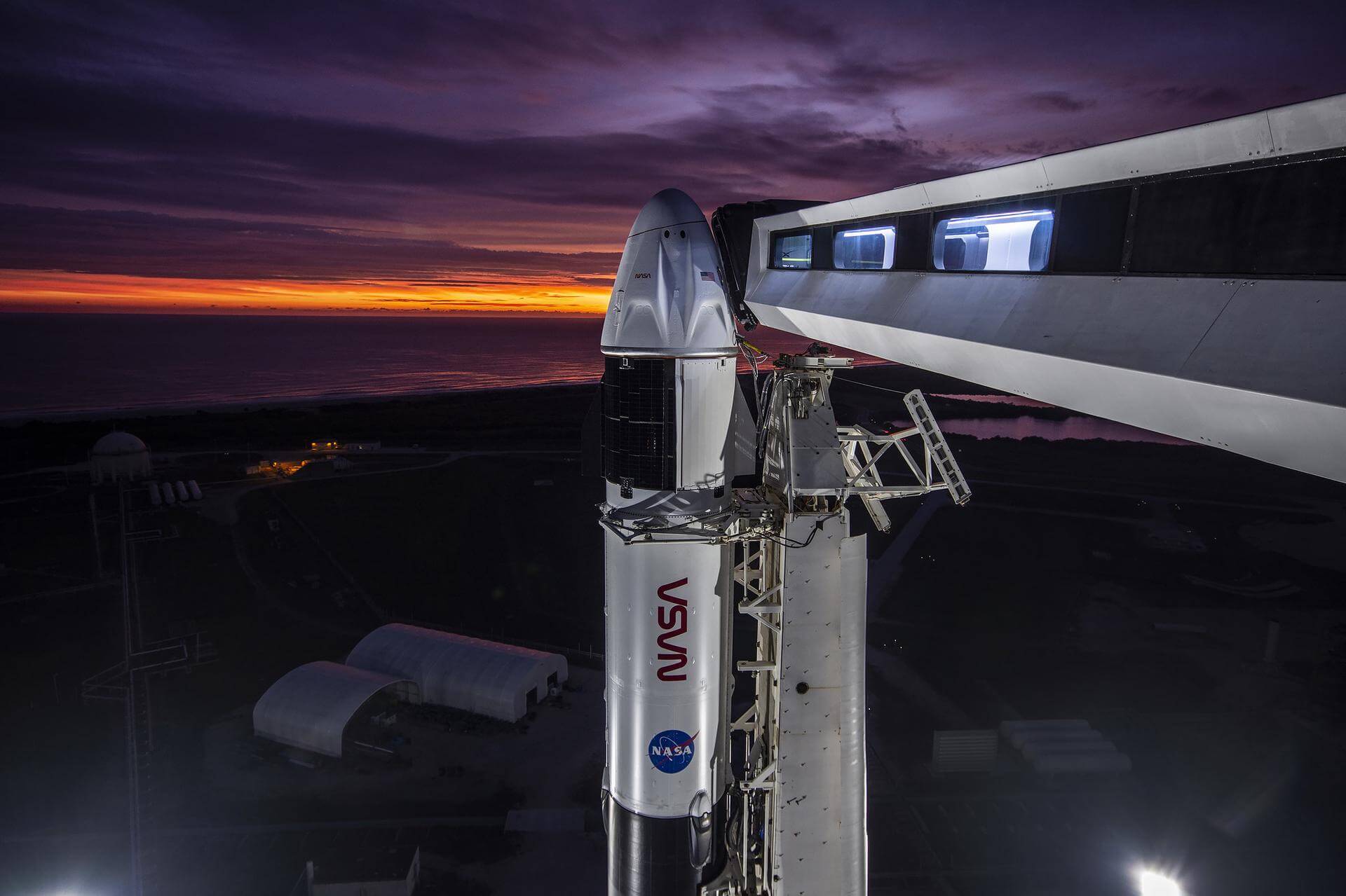
SpaceX Crew-13 is the thirteenth crewed operational flight of a Crew Dragon spacecraft to the International Space Station as part of NASA's Commercial Crew Program.
Month
3 high-throughput communications satellites in Medium Earth Orbit (MEO) built by Boeing and operated by SES.
Month
Amazon Leo, formerly known as Project Kuiper, is a mega constellation of satellites in Low Earth Orbit that will offer broadband internet access, this constellation will be managed by Kuiper Systems LLC, a subsidiary of Amazon. This constellation is planned to be composed of 3,276 satellites. The satellites are projected to be placed in 98 orbital planes in three orbital layers, one at 590 km, 610 km and 630 km altitude.
45 satellites will be carried on each Vulcan launch.
Quarter 3
Tranche 1 Tracking Layer A is one of five missions by the United States Space Force Space Development Agency (SDA) for the Proliferated Warfighter Space Architecture (PWSA) Tranche 1 Tracking Layer constellation, which will provide global indications, warning, tracking, and targeting of advanced missile threats, including hypersonic missile systems.
Quarter 3
Tranche 1 Tracking Layer C is one of five missions by the United States Space Force Space Development Agency (SDA) for the Proliferated Warfighter Space Architecture (PWSA) Tranche 1 Tracking Layer constellation, which will provide global indications, warning, tracking, and targeting of advanced missile threats, including hypersonic missile systems.
Quarter 3
Tranche 1 Tracking Layer E is one of five missions by the United States Space Force Space Development Agency (SDA) for the Proliferated Warfighter Space Architecture (PWSA) Tranche 1 Tracking Layer constellation, which will provide global indications, warning, tracking, and targeting of advanced missile threats, including hypersonic missile systems.
Quarter 3
Tranche 1 Transport Layer A is one of six missions by the United States Space Force Space Development Agency (SDA) for the Proliferated Warfighter Space Architecture (PWSA) Tranche 1 Transport Layer constellation, which will provide assured, resilient, low-latency military data and connectivity worldwide to the full range of warfighter platforms from Low Earth Orbit satellites.
The constellation will be interconnected with Optical Inter-Satellite Links (OISLs) which have significantly increased performance over existing radio frequency crosslinks. It is expected to operate over Ka band, have stereo coverage and be dynamically networked for simpler hand-offs, greater bandwidth and fault tolerance.
This launch carries 21 satellites manufactured by Northrop Grumman.
Quarter 3
Tranche 1 Transport Layer D is one of six missions by the United States Space Force Space Development Agency (SDA) for the Proliferated Warfighter Space Architecture (PWSA) Tranche 1 Transport Layer constellation, which will provide assured, resilient, low-latency military data and connectivity worldwide to the full range of warfighter platforms from Low Earth Orbit satellites.
The constellation will be interconnected with Optical Inter-Satellite Links (OISLs) which have significantly increased performance over existing radio frequency crosslinks. It is expected to operate over Ka band, have stereo coverage and be dynamically networked for simpler hand-offs, greater bandwidth and fault tolerance.
Quarter 3
Tranche 1 Transport Layer F is one of six missions by the United States Space Force Space Development Agency (SDA) for the Proliferated Warfighter Space Architecture (PWSA) Tranche 1 Transport Layer constellation, which will provide assured, resilient, low-latency military data and connectivity worldwide to the full range of warfighter platforms from Low Earth Orbit satellites.
The constellation will be interconnected with Optical Inter-Satellite Links (OISLs) which have significantly increased performance over existing radio frequency crosslinks. It is expected to operate over Ka band, have stereo coverage and be dynamically networked for simpler hand-offs, greater bandwidth and fault tolerance.
Quarter 3
Classified mission launched by the Space Development Agency (SDA) for Tranche 2 Tracking Layer.
Quarter 3
Classified mission launched by the Space Development Agency (SDA) for Tranche 2 Tracking Layer.
Quarter 3
First of at least four missions carrying 6 satellites for Open Cosmos' secure LEO broadband constellation, designed to provide independent and resilient connectivity infrastructure for Europe and the world using high-priority Ka-band spectrum filings by the Principality of Liechtenstein.
Quarter 3
QuickSounder is the first satellite mission of the Near Earth Orbit Network (NEON) program of the National Oceanic and Atmospheric Administration (NOAA), which aims to replace the current Joint Polar Satellite System (JPSS) series of polar orbit weather satellites. This pathfinder mission will demonstrate NOAA's ability to launch a small satellite within 3 years, flying a refurbished Advanced Technology Microwave Sounder (ATMS) instrument to polar orbit.
Quarter 3
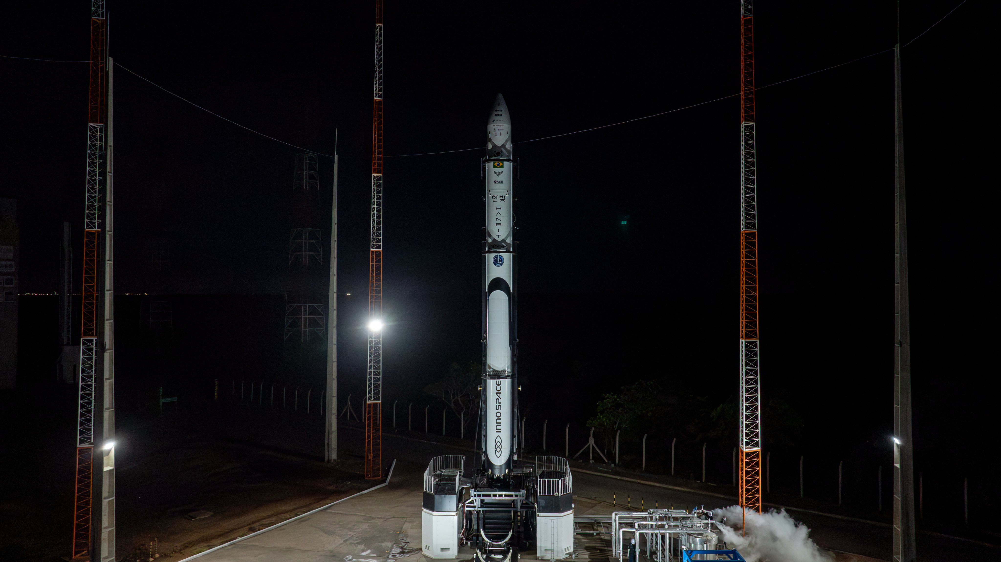
Innospace's first in-house test satellite, 'InnoSat-0', will test various technologies for future development of satellites by Innospace themselves. The satellite will be deployed using Korean company SpaceBey’s specialized deployer.
Quarter 3
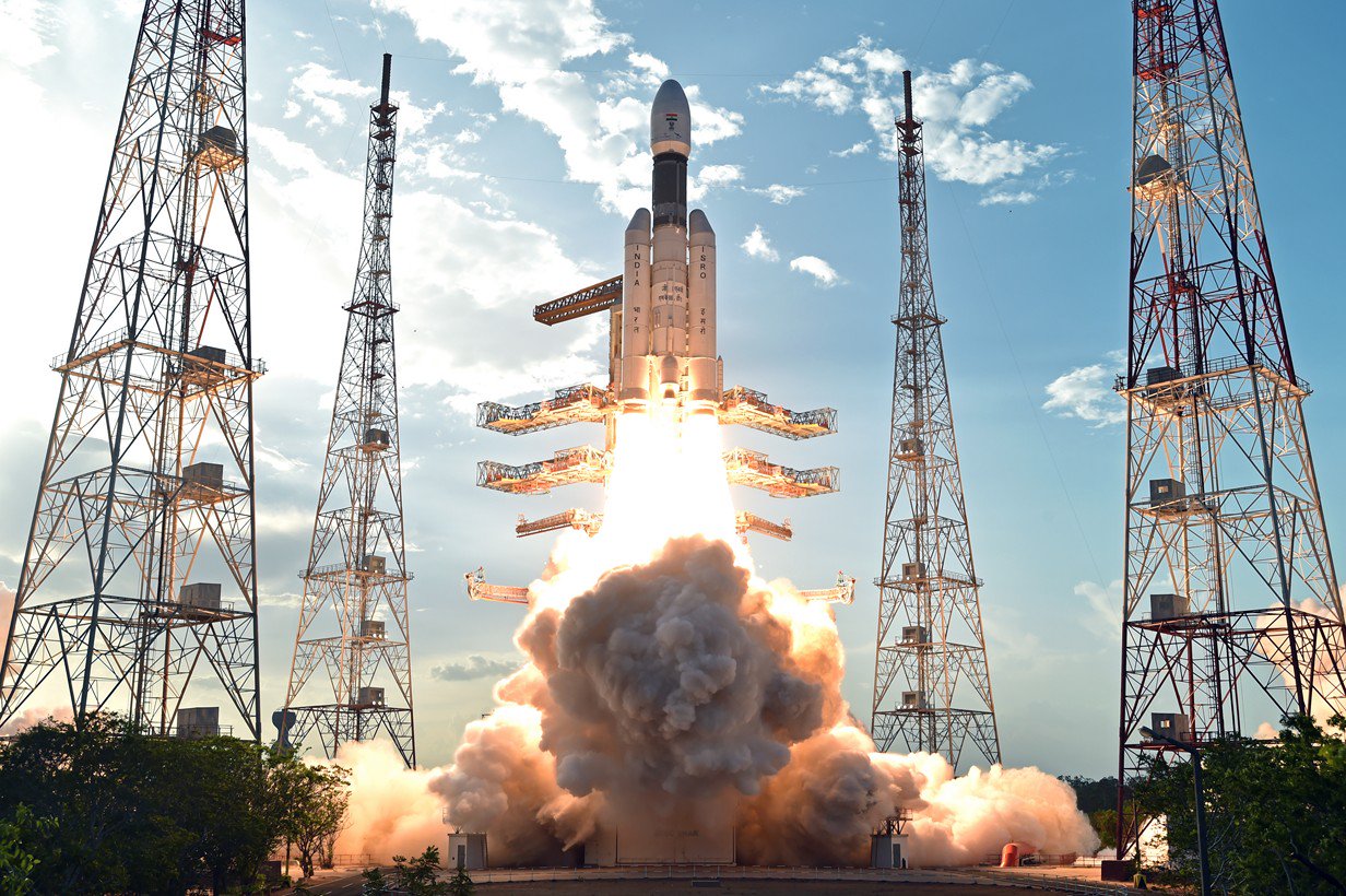
First uncrewed orbital test flight of the Gaganyaan capsule.
Quarter 3
NeonSat-2 to 6 are part of the South Korean government's Earth observation micro-satellite constellation NeonSat (New-space Earth Observation Satellite). The NeonSat constellation is the first satellite system developed by the government using a mass-production approach for precise monitoring of the Korean Peninsula.
Quarter 3
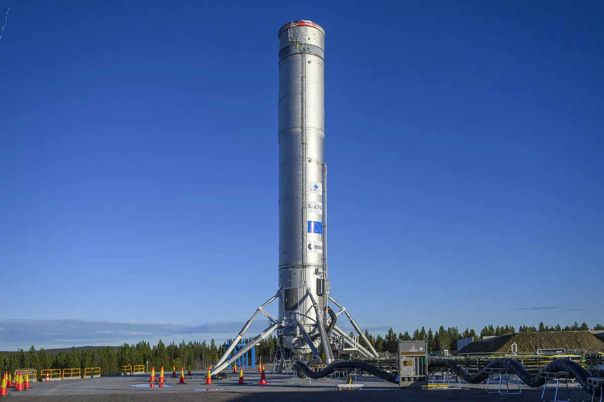
First low-altitude hop test of a Themis demonstrator, with a targeted altitude up to 100 m.
Day
Amazon Leo, formerly known as Project Kuiper, is a mega constellation of satellites in Low Earth Orbit that will offer broadband internet access, this constellation will be managed by Kuiper Systems LLC, a subsidiary of Amazon. This constellation is planned to be composed of 3,276 satellites. The satellites are projected to be placed in 98 orbital planes in three orbital layers, one at 590 km, 610 km and 630 km altitude.
35-40 satellites will be carried on each Ariane 6 launch.
Month
Synthetic aperture radar satellite for Japanese Earth imaging company Synspective.
Month
Dedicated rideshare flight to a sun-synchronous orbit with dozens of small microsatellites and nanosatellites for commercial and government customers.
Month
MMX is a Japanese scientific mission to land on Phobos, one of the two moons of Mars, to collect samples before bringing them back to Earth.
The mission includes a small French/German rover to explore the surface of Phobos.
05:03 Minute
Progress resupply mission to the International Space Station.
Month
Demonstration flight of the Astrobotic Griffin lander and its engines, initially contracted for the cancelled NASA VIPER (Volatiles Investigating Polar Exploration Rover) mission. The vacated payload spot will now host the FLIP (FLEX Lunar Innovation Platform) lunar rover from Astrolab.
Quarter 4
Second of at least four missions carrying 6 satellites for Open Cosmos' secure LEO broadband constellation, designed to provide independent and resilient connectivity infrastructure for Europe and the world using high-priority Ka-band spectrum filings by the Principality of Liechtenstein.
Month
Synthetic aperture radar satellite for Japanese Earth imaging company Synspective.
Month
2nd lunar lander developed by Firefly Aerospace. The Blue Ghost lander will be of a new two-stage version utilizing an Elytra Dark transfer vehicle to place it and the European Space Agency's Lunar Pathfinder experimental communication satellite into Lunar orbit.
The lander will land on the far side of the Moon with 2 NASA payloads:
* Lunar Surface Electromagnetics Experiment (LuSEE-Night)
* User Terminal (UT)
Month
Classified mission launched by the Space Development Agency (SDA) for Tranche 2 Transport Layer.
Month
Classified mission launched by the Space Development Agency (SDA) for Tranche 2 Transport Layer.
Month
Up to 18 satellites manufactured by MDA for Canadian satellite operator Telesat's Lightspeed constellation.
Quarter 4
Payload consists of two satellites for Europe's Galileo navigation system.
Quarter 4
Aspera houses an ultraviolet telescope and will examine hot gas in the intergalactic medium, thought to be contributing to the birth of stars and planets. Aspera will be the first NASA astrophysics mission to gather and map these ultraviolet light signatures, potentially unlocking a deeper understanding of the origins of stars, planets, and life in the universe.
Quarter 4
CHORUS is MDA's next generation Earth observation constellation, consisting of 2 radar satellites (C-band SAR and X-band SAR), in a 53.5 degree 600 km altitude LEO, with the X-band trailing the C-band by 60 minutes. A collaborative multi-sensor constellation, CHORUS will bring together diverse and unique imagery and data sources and provide a new level of near real-time insight and innovative Earth observation services. Operating in a unique mid-inclination orbit, CHORUS will be able to image day or night, regardless of weather conditions, with daily access of up to 95% of the coverage area. From an industry-leading 700km-wide imaging swath down to sub-metre high resolution, CHORUS will provide the most extensive and unrivalled Earth observation radar imaging capacity available on the market in a single mission.
Quarter 4
This is the 25th flight of the Orbital ATK's uncrewed resupply spacecraft Cygnus and its 24th flight to the International Space Station under the Commercial Resupply Services contract with NASA.
Quarter 4
Inmarsat-7 is the seventh generation of satellites for the London-based global mobile satellite communications operator Inmarsat. The three satellites of the series - GX-7, 8 & 9 - will have an improved fully reconfigurable Ka-band payload for Inmarsat's Global Xpress services. They are optimized for real-time mobility and feature thousands of dynamically-formed beams that direct capacity with laser-like precision over high-demand areas, to provide HTS (High Throughput) broadband connectivity for the mobility market.
The satellites will be based on Airbus’ new standard and fully reconfigurable satellite product line OneSat. Fully reconfigurable and featuring on board processing and active antennas, the three Ka-band spacecraft will be able to adjust their coverage, capacity and frequency.
Quarter 4
This is the third mission to the Moon for Intuitive Machines with its Nova-C lunar lander. It is to deliver 130 kg of payloads to the lunar surface. This mission also includes a rideshare possibility due to available excess capacity on the launch vehicle.
Quarter 4
Maiden flight of the Neutron launch vehicle.
Quarter 4
Payload consists of a single Pelican high-resolution imaging satellite for Planet Labs Germany.
Quarter 4
ΣYNDEO-3 is a satellite built by Redwire Corporation for the European Union/European Space Agency (ESA)’s In-Orbit Demonstration and In-Orbit Validation Programme (IOD/IOV), which will carry 10 different technological demonstration payload from institutions of Spain, France, Germany, Italy, Luxembourg and the European Commission. The satellite is built on Redwire's Hammerhead spacecraft platform.
Quarter 4
First flight of the Dream Chaser Spaceplane, on a free-flying mission in Low Earth Orbit.
Year Half 2
The Globalstar global mobile communications network offers global, digital real time voice, data and fax services via its Low Earth Orbit satellite constellation. The constellation operates in a 1410 km orbit inclined at 52 degrees.
In early 2022, Globalstar contracted with MDA for the construction of 17 new 2nd generation refresh satellites to replenish the existing constellation. Rocket Lab is sub-contracted to build the satellites' buses and the launch dispensers.
Year Half 2
Shenzhou 24 will be the 24th flight of the Shenzhou program.
Year Half 2
Third test flight of the Isar Spectrum launch vehicle. This launch will carry various satellites including R-Space’s AT-Astra/IOD-01, which will perform in-orbit demonstrations for ENPULSION, SUNBOOSTER GmbH, and Synopsis Planet.
Year
Second of EUMETSAT's second generation of Metop weather satellites.
Year
No description.
Year

First flight of Astra Space's second generation small satellite launch vehicle.
Year
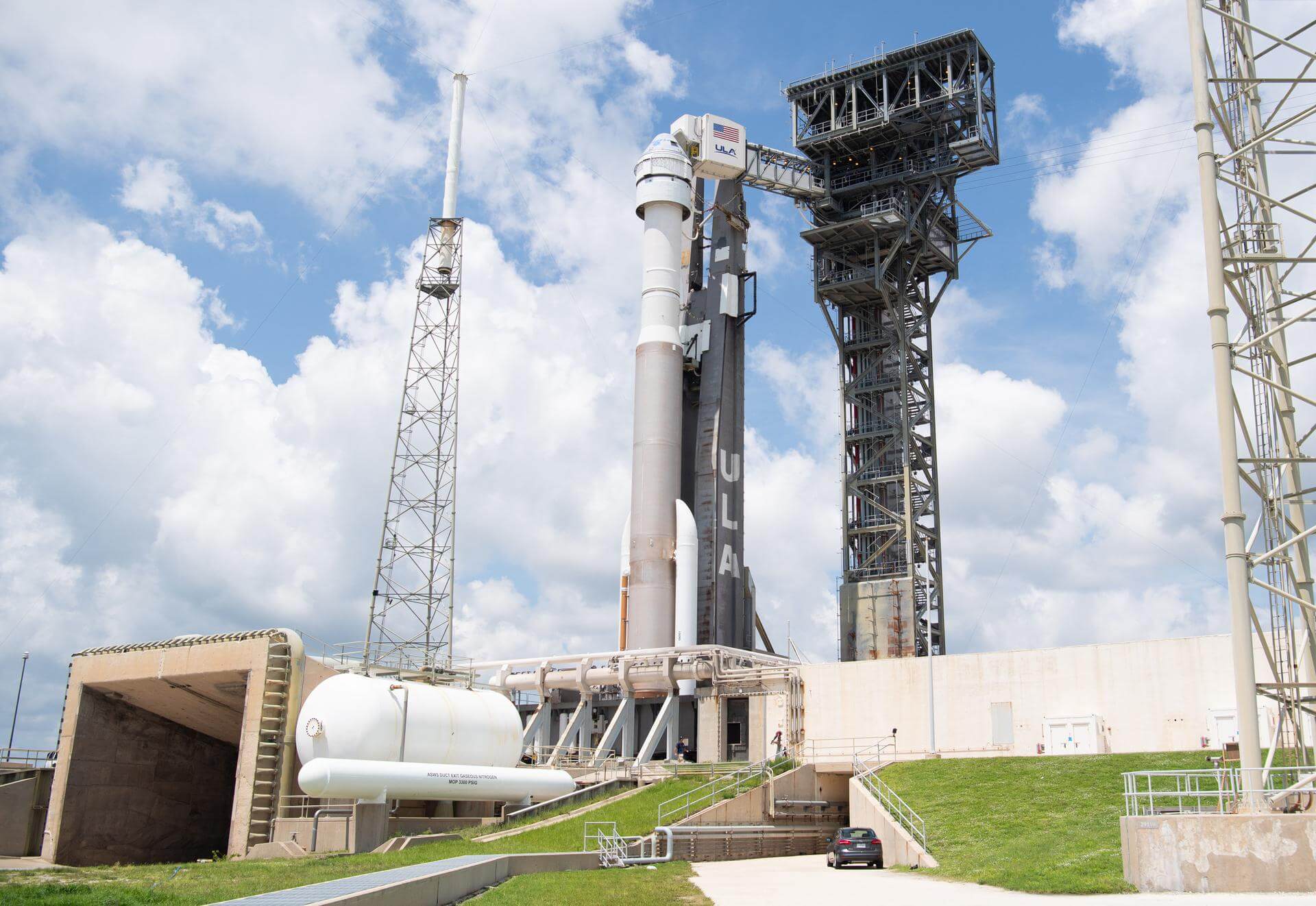
Starliner-1 is the first operational flight of a Starliner spacecraft to the International Space Station as part of NASA's Commercial Crew Program. Due to problems with the Starliner spacecraft's RCS attitude control system during the Crew Flight Test mission in 2024, this mission has been re-scoped to not carry a crew by NASA. It will instead deliver necessary cargo to the orbital laboratory and allow in-flight validation of the system upgrades implemented following the Crew Flight Test mission last year.
Year
HawkEye 360 is a a space-based civil global intelligence satellite network using radio frequency (RF) technology to help monitor transportation across air, land and sea and assist with emergencies, and to provide civil SIGINT (Signal Intelligence) mission.
The constellation of small satellites (named Hawk ) will collect information on specific radio signals worldwide to provide high-precision radio frequency mapping and analytics from Low Earth orbit (LEO).
Year
BlackSky Gen-3 Earth-imaging satellites
Year
BlackSky Gen-3 Earth-imaging satellites
Year
BlackSky Gen-3 Earth-imaging satellites
Year
BlackSky Gen-3 Earth-imaging satellites
Year
BlackSky Gen-3 Earth-imaging satellites
Year
Synthetic aperture radar Earth observation satellite for Japanese Earth imaging company iQPS.
Year
Synthetic aperture radar Earth observation satellite for Japanese Earth imaging company iQPS.
Year
Synthetic aperture radar Earth observation satellite for Japanese Earth imaging company iQPS.
Year
Synthetic aperture radar Earth observation satellite for Japanese Earth imaging company iQPS.
Year
Vietnamese Synthetic Aperture Radar Earth observation satellite build by NEC Corporation of Japan, based on Japan's ASNARO 2 satellite and the NEXTAR NX-300L satellite bus. The satellite will contribute to measures against natural disasters and climate change in Vietnam.
Year
This is the 25th flight of the Orbital ATK's uncrewed resupply spacecraft Cygnus and its 24th flight to the International Space Station under the Commercial Resupply Services contract with NASA.
The NG-22 Cygnus spacecraft was damaged during transport to Cape Canaveral in March 2025 and was shipped back to factory for repairs.
Year
24 satellites for Rivada's internet constellation.
Year
24 satellites for Rivada's internet constellation.
Year
24 satellites for Rivada's internet constellation.
Year
24 satellites for Rivada's internet constellation.
Year
24 satellites for Rivada's internet constellation.
Year
24 satellites for Rivada's internet constellation.
Year
24 satellites for Rivada's internet constellation.
Year
24 satellites for Rivada's internet constellation.
Year
24 satellites for Rivada's internet constellation.
Year
24 satellites for Rivada's internet constellation.