Space launches
Filters
Mission type: 🗙 Astrophysics | Communications | Dedicated Rideshare | Earth Science | Government/Top Secret | Human Exploration | Lunar Exploration | Mission Extension | Navigation | Planetary Science | Resupply | Technology | Test Flight | Unknown
Vehicle: Ariane 62 | Ariane 64 | Ariane 64 Block 2 | Astra Rocket 4 | Atlas V 551 | Atlas V N22 | Electron | Epsilon S | Falcon 9 Block 5 | Falcon Heavy | Firefly Alpha Block 2 | GSLV Mk. II | H3-22 | H3-24 | HANBIT-Nano | KSLV-2 Nuri | Launch Vehicle Mark-3 (GSLV Mk III) | Long March 10B | Long March 2F/G | Long March 4C | Long March 5 | Long March 6A | Long March 8A | Neutron | Pegasus XL | RFA One | Smart Dragon 3 | South Korean ADD Solid-Fuel SLV | Soyuz 2.1a | Soyuz 2.1b | Spectrum | Starship V3 | Themis Demonstrator | Vega-C | Vulcan VC4L | Vulcan VC6L
Orbit: Geostationary Transfer Orbit | Low Earth Orbit | Lunar Orbit | Mars Orbit | Medium Earth Orbit | Polar Orbit | Suborbital | Sun-Earth L2 | Sun-Synchronous Orbit | Unknown
01:15 Minute

Synthetic aperture radar Earth observation satellite for Japanese Earth imaging company iQPS.
Month
Synthetic aperture radar satellite for Japanese Earth imaging company Synspective.
Month
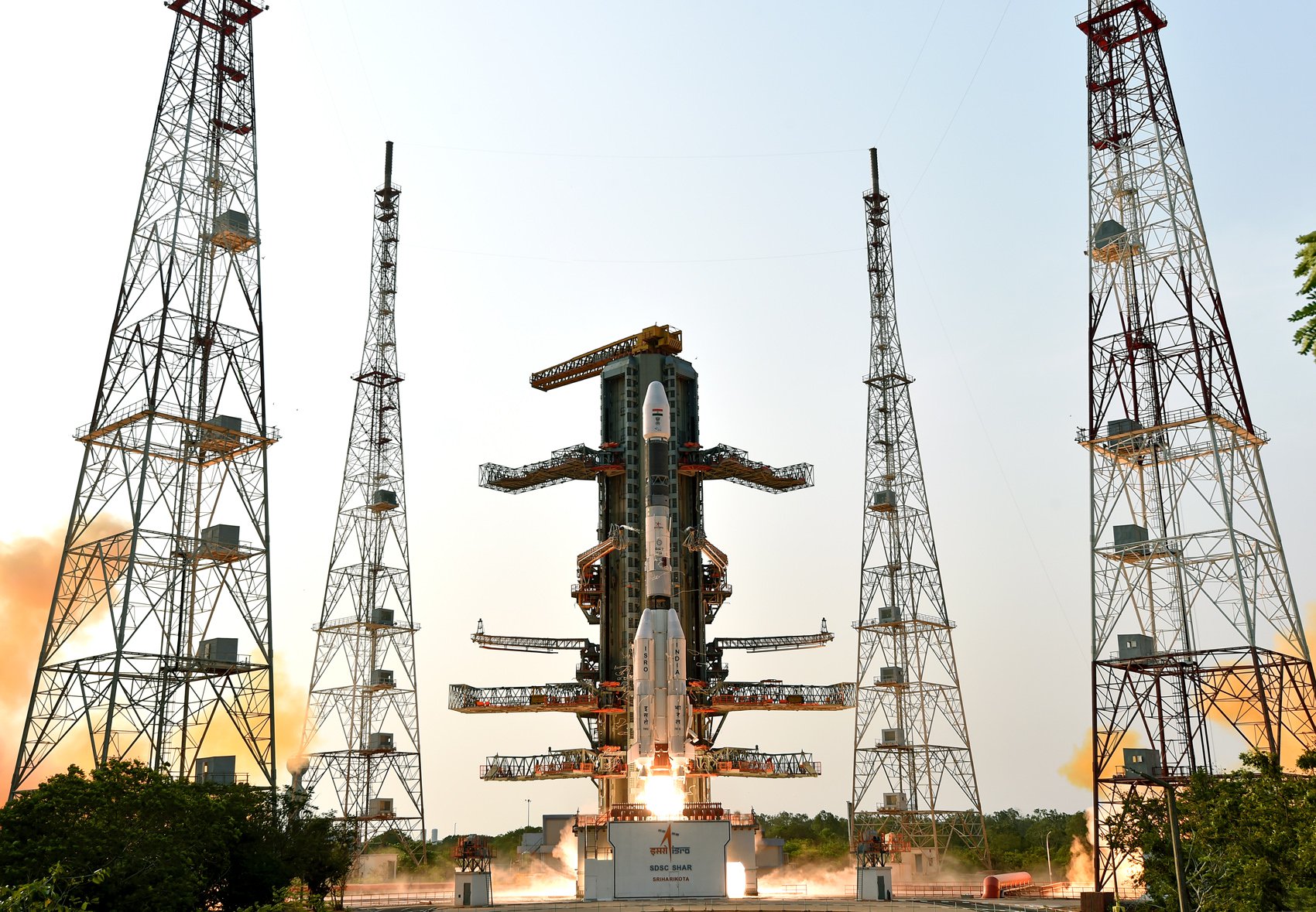
GISAT-1A (GEO Imaging Satellite) is an Indian earth observing satellite operating from geostationary orbit to facilitate continuous observation of Indian sub-continent, quick monitoring of natural hazards and disaster.
Day
Third of EUMETSAT's third generation of weather satellite.
Day

Sentinel-3C is the third satellite in the Sentinel-3 constellation, which provides high-accuracy optical, radar and altimetry data for marine and land services.
The Fluorescence Explorer (FLEX) satellite is a part of ESA's Earth Explorer program. The satellite will map vegetation fluorescence to quantify photosynthetic activity.
Quarter 3

QuickSounder is the first satellite mission of the Near Earth Orbit Network (NEON) program of the National Oceanic and Atmospheric Administration (NOAA), which aims to replace the current Joint Polar Satellite System (JPSS) series of polar orbit weather satellites. This pathfinder mission will demonstrate NOAA's ability to launch a small satellite within 3 years, flying a refurbished Advanced Technology Microwave Sounder (ATMS) instrument to polar orbit.
Quarter 3
NeonSat-2 to 6 are part of the South Korean government's Earth observation micro-satellite constellation NeonSat (New-space Earth Observation Satellite). The NeonSat constellation is the first satellite system developed by the government using a mass-production approach for precise monitoring of the Korean Peninsula.
Day
Second of EUMETSAT's second generation of Metop weather satellites.
Month
Synthetic aperture radar satellite for Japanese Earth imaging company Synspective.
Month

KOMPSAT-7 and 7A are the follow-up satellites of KOMPSAT-3A, whose mission is to provide high-resolution satellite images to satisfy South-Korea's governmental and institutional needs.
Month
Synthetic aperture radar satellite for Japanese Earth imaging company Synspective.
Quarter 4
CHORUS is MDA's next generation Earth observation constellation, consisting of 2 radar satellites (C-band SAR and X-band SAR), in a 53.5 degree 600 km altitude LEO, with the X-band trailing the C-band by 60 minutes. A collaborative multi-sensor constellation, CHORUS will bring together diverse and unique imagery and data sources and provide a new level of near real-time insight and innovative Earth observation services. Operating in a unique mid-inclination orbit, CHORUS will be able to image day or night, regardless of weather conditions, with daily access of up to 95% of the coverage area. From an industry-leading 700km-wide imaging swath down to sub-metre high resolution, CHORUS will provide the most extensive and unrivalled Earth observation radar imaging capacity available on the market in a single mission.
Year
HawkEye 360 is a a space-based civil global intelligence satellite network using radio frequency (RF) technology to help monitor transportation across air, land and sea and assist with emergencies, and to provide civil SIGINT (Signal Intelligence) mission.
The constellation of small satellites (named Hawk ) will collect information on specific radio signals worldwide to provide high-precision radio frequency mapping and analytics from Low Earth orbit (LEO).
Year
BlackSky Gen-3 Earth-imaging satellites
Year
BlackSky Gen-3 Earth-imaging satellites
Year
BlackSky Gen-3 Earth-imaging satellites
Year
BlackSky Gen-3 Earth-imaging satellites
Year
BlackSky Gen-3 Earth-imaging satellites
Year
Synthetic aperture radar Earth observation satellite for Japanese Earth imaging company iQPS.
Year
Synthetic aperture radar Earth observation satellite for Japanese Earth imaging company iQPS.
Year
Synthetic aperture radar Earth observation satellite for Japanese Earth imaging company iQPS.
Year
Synthetic aperture radar Earth observation satellite for Japanese Earth imaging company iQPS.
Year
Vietnamese Synthetic Aperture Radar Earth observation satellite build by NEC Corporation of Japan, based on Japan's ASNARO 2 satellite and the NEXTAR NX-300L satellite bus. The satellite will contribute to measures against natural disasters and climate change in Vietnam.